Short answer
A property described as "over the Edwards Aquifer" still needs careful groundwater research. The phrase does not establish which formation supplies an existing well, whether a new well is practical, or what rules apply to drilling, pumping, and development.
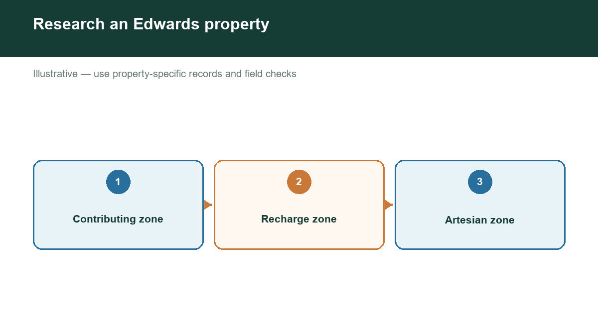
Separate three questions: What groundwater system is present? What activities are regulated at the location? What does the existing well evidence actually demonstrate? Answering them individually makes due diligence more useful.
WHY THE EDWARDS RESPONDS DIFFERENTLY
TWDB describes the Edwards (Balcones Fault Zone) Aquifer as highly permeable, with water levels and springflow that can respond quickly to rainfall, drought, and pumping. Its karst features create important pathways for recharge and groundwater movement. [1]
This is regional context, not a parcel-level prediction. A favorable aquifer description does not guarantee an individual well's flow or water quality. Local geology, well construction, and current conditions still matter.
CHECK THE RECHARGE AND REGULATORY MAPS
TCEQ's Edwards Aquifer Map Viewer shows regulatory zones based on official maps and geologic interpretations. [2] Its Edwards Aquifer Protection Program addresses activities that could pollute the aquifer. [3]
A recharge-zone designation concerns aquifer protection and land activities; it is not a certificate that usable groundwater will be found beneath your proposed well site. Likewise, a development approval should not be treated as authorization to pump any desired amount.
Use the exact parcel boundary, not just a mailing address. When a boundary is close or the planned work is substantial, ask TCEQ and a qualified local consultant which requirements apply to the actual project area.
IDENTIFY THE GROUNDWATER AUTHORITY
The Edwards Aquifer Authority regulates groundwater within its jurisdiction, but it is not the governing authority for every property associated with the Edwards name.
Within the relevant EAA jurisdiction, its well-registration guidance distinguishes registration from groundwater withdrawal permits and describes qualifications for exempt wells. Domestic or livestock use does not, by itself, settle every requirement. [4]
Other areas have different arrangements. For example, Barton Springs-Edwards Aquifer Conservation District publishes its own drilling and permitting procedures for wells within its boundary. [5] Rules from that district cannot simply be substituted for EAA rules, or vice versa.
Ask the responsible authority to confirm the property, proposed aquifer, intended use, and any construction or withdrawal approvals needed. For a purchase involving permitted rights, obtain appropriate legal and technical review.
VERIFY WHICH AQUIFER THE WELL ACTUALLY USES
An address in an Edwards-related area may have a well completed in another formation. Review the well report, total depth, casing, open-hole or screen interval, and any professional aquifer identification.
Ask the seller for registration records, permit documents where applicable, maintenance history, water-quality tests, and recent performance information. Resolve differences between the mapped point, the physical wellhead, and the paperwork before relying on the evidence.
HOW TO USE REGIONAL WATER-LEVEL READINGS
Regional index-well readings are useful context, but they are not the depth to water at every nearby property. EAA displays index-well readings in feet above mean sea level and springflow in cubic feet per second. [4] Read the units before comparing those figures with a private well report.
Do not subtract an index-well elevation from your property's elevation and present the result as an onsite measurement. Groundwater gradients, geologic differences, and the relationship between the locations need evaluation.
MAKE A DECISION CHECKLIST
Before closing or drilling, confirm the parcel's relevant zones, the groundwater authority, the actual source formation, the existing approvals, and the present condition of the well. For development, also review septic, drainage, contamination protection, and construction requirements with the appropriate agencies.
RESEARCH THE PROPERTY, NOT JUST THE AQUIFER NAME
Visit https://www.groundwaterassessment.com/ to begin your Texas groundwater research. Use public-data evidence to identify questions for the appropriate regulator, licensed driller, inspector, or hydrogeologist. An assessment is not a permit or a production guarantee.
Sources
- [1] TWDB: Edwards (Balcones Fault Zone) Aquifer.
- [2] TCEQ: Edwards Aquifer Map Viewer.
- [3] TCEQ: Edwards Aquifer Protection Program.
- [4] Edwards Aquifer Authority: Well Registration and Updates. Registration, exemptions, and linked aquifer-condition information.
- [5] Barton Springs-Edwards Aquifer Conservation District: Types of Permits and Forms.