Short answer
An aquifer is a geologic formation that stores and transmits groundwater. In Texas, aquifers are not interchangeable underground reservoirs. They differ in depth, recharge, water quality, well yield, susceptibility to drought, and management rules.
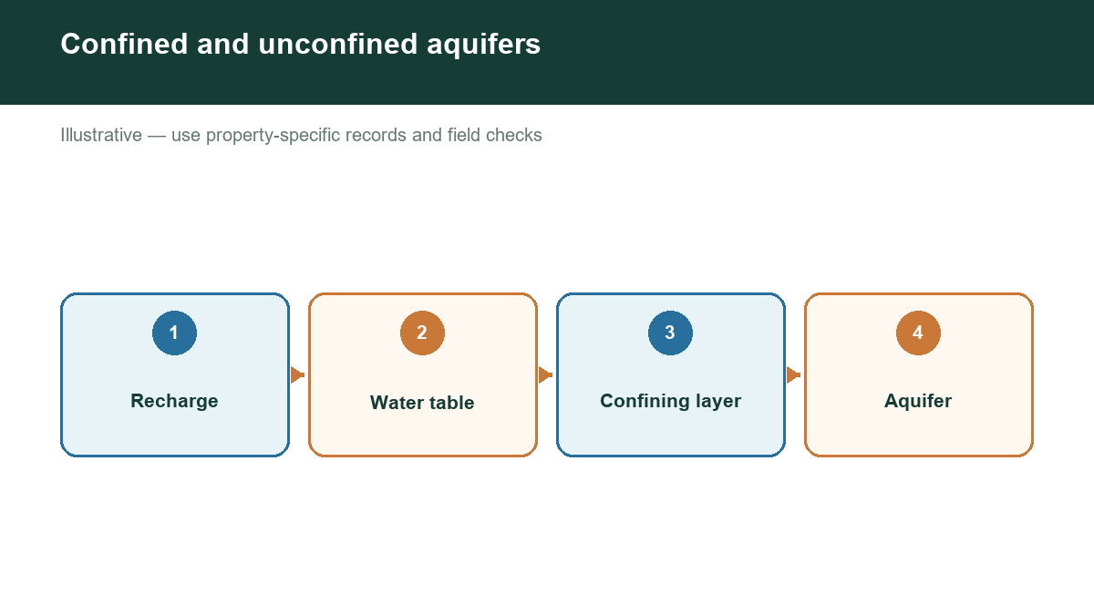
The Texas Water Development Board identifies major aquifers that supply significant amounts of water across broad areas, along with minor aquifers that are locally important. A property may be above more than one water-bearing formation, but that does not mean every formation is practical or permitted for a new well.
Major aquifers property owners commonly encounter
The Ogallala supplies farms, ranches, towns, and industries across much of the High Plains. Water levels and well performance vary substantially across the aquifer. In many areas, long-term pumping exceeds recharge, making historical water levels and local trends especially important.
The Edwards Aquifer is a highly productive karst limestone aquifer in Central Texas. Recharge can occur quickly through streams, caves, sinkholes, and fractures. That same connectivity can make the aquifer vulnerable to contamination and rapid changes in water levels after rainfall or drought.
The Trinity Aquifer serves parts of North and Central Texas. It includes layered formations with different characteristics. A property in one Trinity outcrop or subunit may not resemble a property elsewhere in the system.
The Carrizo-Wilcox extends through parts of East and South Texas. It contains sands and clays whose productivity and water quality can vary by depth and location.
The Gulf Coast Aquifer system covers a large portion of the coastal plain. It includes multiple water-bearing units and can be influenced by pumping, saltwater movement, subsidence, and local geology.
Other aquifers, including the Seymour, Hueco-Mesilla Bolson, Blossom, Nacatoch, Sparta, Queen City, and others, may be the primary source in a particular county or community.
Why the aquifer label is only the beginning
An aquifer name does not tell you the expected well depth, yield, or water quality at a specific address. A map-scale aquifer boundary is useful for orientation, but property decisions require nearby evidence. Review well records, reported depths, water levels, completion intervals, and uses. Look for patterns rather than treating one record as a promise.
Also distinguish aquifer recharge from well production. Recharge is water entering the aquifer. Well yield is the rate at which a particular well can produce water under defined conditions. A productive aquifer can still contain low-yield locations, and a modest aquifer can support a household well where local geology is favorable.
Who manages groundwater?
Texas groundwater is managed through a combination of state programs, groundwater conservation districts, and local rules. A groundwater conservation district may have requirements for registration, permitting, spacing, production, reporting, or well construction. Not every property is inside a district, and district boundaries do not always match county boundaries.
Before drilling, contact the applicable district and check current requirements. A licensed driller or pump installer can also help interpret what the formation and local rules mean for a proposed well.
Check groundwater evidence near your Texas property
The best aquifer guide for a property combines regional geology with nearby well evidence. Use our assessment tool to organize public records, identify the likely aquifer context, and understand where the evidence is strong or uncertain.