Short answer
The Ogallala Aquifer is one of Texas’s most important groundwater resources, especially across the High Plains. It supports agriculture, communities, livestock, and industry. But the aquifer is not uniform, and water-level conditions can change dramatically from one county, formation, or well field to another.
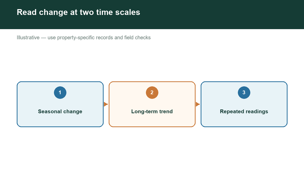
Why levels vary
The Ogallala is influenced by recharge, pumping, soil, depth to water, saturated thickness, local geology, and climate. Recharge is often limited and uneven. A wet year may improve conditions in some locations without reversing a long-term decline. Irrigation demand can rise during hot, dry seasons when recharge is lowest.
Water-level change is not the same as well failure
A declining water level can reduce the amount of water a well can produce economically, but it does not mean every well in the area is dry. Well depth, pump setting, casing, screen interval, and saturated thickness all matter. Some wells may continue operating after others experience reduced yield.
How to investigate a local trend
Use TWDB groundwater data to identify nearby wells with repeated measurements. Compare dates, reported water levels, well elevations, total depths, aquifer information, and uses. A trend is more persuasive when multiple comparable wells show a similar direction over a meaningful period.
Avoid combining unlike measurements. A shallow domestic well and a deep irrigation well may respond differently. A water level measured during pumping is not directly comparable to a static level. Differences in land elevation also matter: the same depth below ground can represent a different hydraulic elevation.
Local management matters
Groundwater conservation districts may adopt rules and management goals for the areas they serve. Producers and landowners should review current district information for requirements involving permits, spacing, production, metering, reporting, or well registration. County names alone may not identify the correct district.
What landowners can do
Track water levels and system performance over time. Record pumping conditions, flow, pressure, and seasonal changes. Inspect the well and pump before a crisis. Use efficient irrigation practices where applicable and respond to district guidance.
For a property purchase, do not rely on the phrase “located over the Ogallala.” Ask for well records, recent production information, water-quality tests, equipment details, and evidence of the local trend. A regional map provides context; nearby well data provides stronger decision support.
Check groundwater evidence near your Texas property
Our assessment tool helps translate broad Ogallala conditions into a location-specific review of nearby public well evidence. Use it to identify patterns, gaps, and questions for a driller, hydrologist, or groundwater district.