Short answer
Before drilling a Texas well, buying land with one, or increasing water use, identify the groundwater authority for the exact property. A county name is a useful starting point, but it may not answer the jurisdiction question.
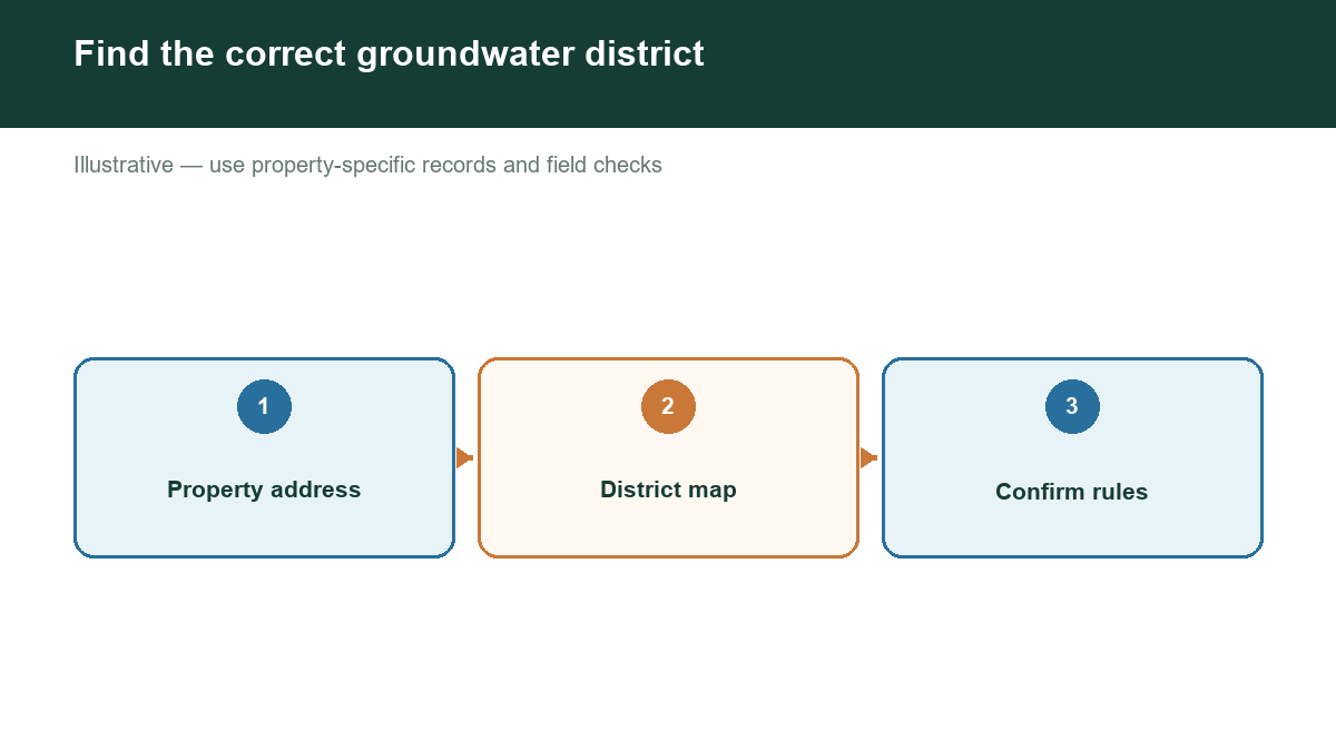
Groundwater conservation districts, often called GCDs, are local entities with authority to regulate well spacing, production, or both. TWDB maintains district information and maps. [1] Local rules and enabling legislation matter, so a rule from one district should not be treated as a statewide standard.
STEP 1: LOCATE THE PROPERTY PRECISELY
Gather the survey, parcel boundary, address, and well coordinates if available. Distinguish the tract you own from the mailing location. For a large parcel, identify where the actual or proposed well sits.
This matters when a property is close to a jurisdiction boundary. Provide the location directly to district staff rather than asking only, "Do you manage this county?"
STEP 2: USE TWDB'S MAP AND DIRECTORY
TWDB provides groundwater conservation district information and a groundwater viewer with district layers alongside wells, aquifers, geology, counties, and other geographic information. [1][2]
Use the map to identify a likely authority, then locate its current contact information. A map is an orientation tool; confirmation from the authority is especially important near boundaries or when the aquifer source is unclear.
Some areas have special groundwater regulators. TWDB's district map notes that the Edwards Aquifer Authority and subsidence districts are not GCDs as defined under Chapter 36 of the Texas Water Code, although they can regulate groundwater production. [3] Do not overlook these authorities when researching a property.
STEP 3: DESCRIBE THE PROJECT, NOT JUST THE ADDRESS
Explain whether you are buying an existing well, drilling a new one, deepening a well, replacing a pump, or changing use. State the intended purpose and expected demand: household, livestock, irrigation, commercial, or another use.
Ask staff which rules and forms apply to that situation. A well's existing status may not answer whether a future use is allowed under the same conditions.
Useful questions include:
- Does your authority govern this well location and source aquifer?
- Must an existing or proposed well be registered?
- Is a drilling authorization, notification, or operating permit needed?
- What spacing and construction requirements apply?
- Are there production, metering, or reporting obligations?
- How do drought rules affect the proposed use or application?
- What documents should transfer when ownership changes?
STEP 4: ASK WHAT AN EXEMPTION ACTUALLY COVERS
"Exempt" should not be read as "no paperwork or construction requirements." Ask which specific requirement the exemption addresses and whether other obligations remain.
For example, EAA's published guidance separates qualifying exemption from withdrawal permitting and still requires registration under its framework. [4] This example applies to that authority's requirements, not to every Texas district.
Hays Trinity GCD separately publishes construction-notification procedures and drought-related limits on certain applications. [5] The differences demonstrate why local confirmation is more reliable than a generic online answer.
STEP 5: KEEP A DATED RECORD
Save the current rules, forms, written guidance, and staff correspondence with your property documents. Record the assumptions used, including intended use, aquifer, location, and proposed production.
For a substantial investment or a dispute about permitted rights, seek qualified legal and technical advice. A district conversation is important due diligence, but it is not a substitute for that review.
WHAT IF NO DISTRICT IS IDENTIFIED?
Do not conclude that any well can be built anywhere. State construction and licensing requirements, other groundwater authorities, and local land-use constraints may still apply. TDLR is the official starting point for water-well driller and pump-installer information. [6]
CONNECT REGULATION WITH GROUNDWATER EVIDENCE
Visit https://www.groundwaterassessment.com/ to begin researching the groundwater context for your Texas property. Combine that research with direct jurisdiction confirmation before committing to a purchase, drilling contract, or new water-use plan.
Sources
- [1] TWDB: Groundwater Conservation District Facts and linked district information.
- [2] TWDB: Groundwater Data Viewer.
- [3] TWDB: Groundwater District Map. Special-authority distinction.
- [4] Edwards Aquifer Authority: Well Registration and Updates.
- [5] Hays Trinity Groundwater Conservation District: Forms.
- [6] TDLR: Water Well Drillers and Pump Installers.