Short answer
A TWDB well record is public information about a water well or groundwater observation site maintained through Texas groundwater data programs. Depending on the source, a record may include location, depth, owner, driller, construction, aquifer, water levels, water quality, use, and production information.
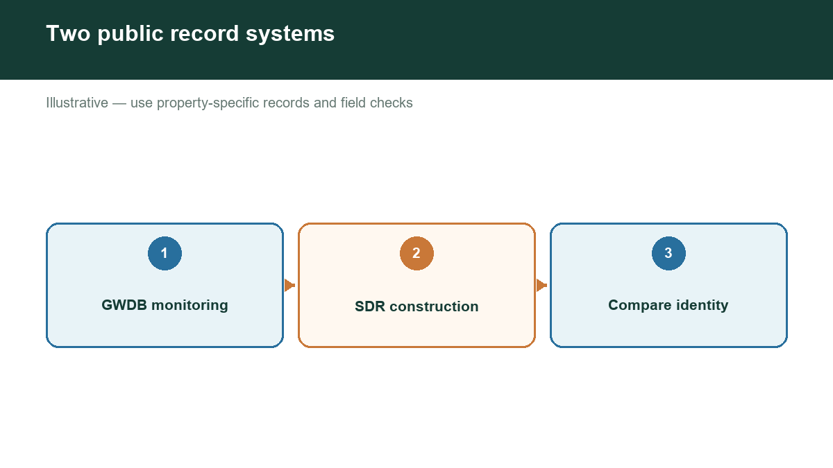
Two data sets are especially useful. The Groundwater Database, or GWDB, contains selected well information and related water-level and water-quality data. The Submitted Drillers Reports database contains reports submitted for wells drilled in Texas. TWDB makes these records available through online viewers and downloadable reports.
What a record can tell you
A record can help answer basic questions:
- Where is the well?
- How deep was it drilled?
- What aquifer or formation was reported?
- What type of well is it?
- Who drilled it and when?
- What casing, screen, or completion details were reported?
- Was a water level or yield recorded?
These fields create a starting point for evaluating nearby groundwater conditions. Multiple records can reveal whether well depths cluster in a range, whether reported water levels vary with elevation, and whether different uses rely on different formations.
What a record cannot guarantee
Public data may be incomplete, old, incorrectly located, or based on measurements taken under different conditions. A reported water level may not be a current static level. A reported yield may be a short-term test result, not a sustainable pumping rate. A map point may be approximate, especially for older records.
The absence of a record does not prove that a well does not exist. Search terms, spelling, addresses, ownership, reporting dates, and data migration can affect results. Use map searches and several identifying fields rather than relying on one exact address.
How to read nearby records
First, filter for wells within a reasonable distance of the property. Then group records by aquifer, completion depth, use, and age. Compare records at similar elevations when possible. Look for consistent patterns and outliers.
For a water-depth estimate, do not average every nearby well together. A shallow domestic well, a deep irrigation well, and an observation well may represent different conditions. A better analysis separates comparable wells and explains the uncertainty.
Use records responsibly
TWDB’s database explanation and metadata should be reviewed before making technical conclusions. For a purchase, drilling plan, or water-supply decision, combine public records with a licensed professional’s evaluation, current field measurements, and applicable groundwater conservation district rules.
Check groundwater evidence near your Texas property
Our assessment tool is designed to make nearby well evidence easier to review. It can help you move from a broad aquifer label to a documented, location-specific picture while preserving the distinction between recorded facts and estimates.