Short answer
A Texas water well report is more than a record of how deep someone drilled. It can show how the well was built, what materials were encountered, where water stood, and how production was evaluated. Reading those details together is more useful than focusing on one number.
Illustrative report-reading example
A report listing a 420-foot total depth, a 90-foot static water level, and a pump at 300 feet describes three different parts of the well. It does not prove that 330 feet of the borehole contains usable water. Read those values with the screen or open-hole interval, measurement date, test method, and current inspection findings.
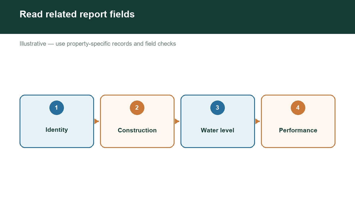
For property buyers, the report helps organize questions for a well inspection. For owners planning a new well, neighboring reports offer context about local drilling conditions. Neither use turns a historical report into a guarantee of today's water supply.
START BY CONFIRMING THE WELL'S IDENTITY
Match the report to the actual well before interpreting it. The Texas Department of Licensing and Regulation's well-report form includes owner and location information, coordinates, drilling dates, intended use, construction details, water-level information, and a water-test section. Older reports and online summaries may display these fields differently. [1]
Compare the location with the survey, visible wellhead, and seller's records. Ownership and street names can change. If a mapped point falls near the parcel boundary, ask whether it represents your well or a neighbor's.
TWDB's Submitted Drillers Reports and TCEQ's historical Water Well Report Viewer are useful starting points. Search more than one system when the first search is unsuccessful. [2][3]
KEEP THREE DEPTHS SEPARATE
Total well depth describes how far the borehole extends. Depth to water describes where the water surface stood under the reported measurement conditions. Pump setting describes where the pump intake or pump assembly was installed.
Consider an illustrative well with a total depth of 420 feet, a static water level of 90 feet, and a pump intake at 300 feet. These numbers describe different parts of the system. They do not mean that the property has a 330-foot-thick water-bearing layer or that usable water occurs throughout the borehole.
In a confined aquifer, pressure can cause water to rise inside a well above the formation that supplies it. Consequently, the water surface in the casing does not necessarily identify the top of the aquifer. [4]
READ CONSTRUCTION DETAILS WITH A PROFESSIONAL
Look for casing material and diameter, screen or open-hole intervals, and the annular seal. These details help describe the completion and protection of the well. The TDLR form also records formation descriptions and information about water quality encountered during drilling. [1]
Turn unfamiliar entries into specific questions: Which interval supplies water? What prevents shallow water from entering? Does the current equipment match the original completion? Has the well been deepened or reconditioned?
A short description such as "limestone" is not enough to establish an exact aquifer or predictable yield. Ask a licensed driller or hydrogeologist to interpret the completion in its local geologic setting.
CHECK HOW YIELD WAS DETERMINED
The report's water-test section distinguishes methods such as pumping, bailing, and estimates, and provides fields for yield, drawdown, and duration. [1] An estimated flow and a measured pumping test should not receive equal weight in a purchase decision.
If a report lists 15 gallons per minute but omits duration and drawdown, ask what that number represents. It could be useful historical information while leaving today's dependable production unresolved.
BUILD A FOLLOW-UP LIST
Before relying on the report, gather a current laboratory analysis, pump-service records, a professional inspection, and any applicable groundwater district documentation. Write down discrepancies rather than filling gaps with assumptions.
A useful summary separates recorded information, professional interpretation, and unanswered questions. That approach helps you decide what must be verified before closing on land or approving a drilling proposal.
START WITH PROPERTY-SPECIFIC EVIDENCE
Visit https://www.groundwaterassessment.com/ to begin your Texas groundwater research. Use nearby well evidence as a starting point, then confirm construction, current performance, water quality, and local requirements with the appropriate professionals.