Short answer
Groundwater depth in Texas can range from only a few feet below the land surface to several hundred feet or more. There is no single statewide answer because groundwater depth depends on the aquifer, geology, elevation, rainfall, pumping, and the exact property location.
Illustrative well-depth example
Consider a hypothetical 240-foot well with a static water level 120 feet below ground and a pump set at 200 feet. The groundwater depth is 120 feet, not 240 feet. The difference between the resting water surface and the pump is an 80-foot static water column, before pumping drawdown or seasonal extremes are considered.
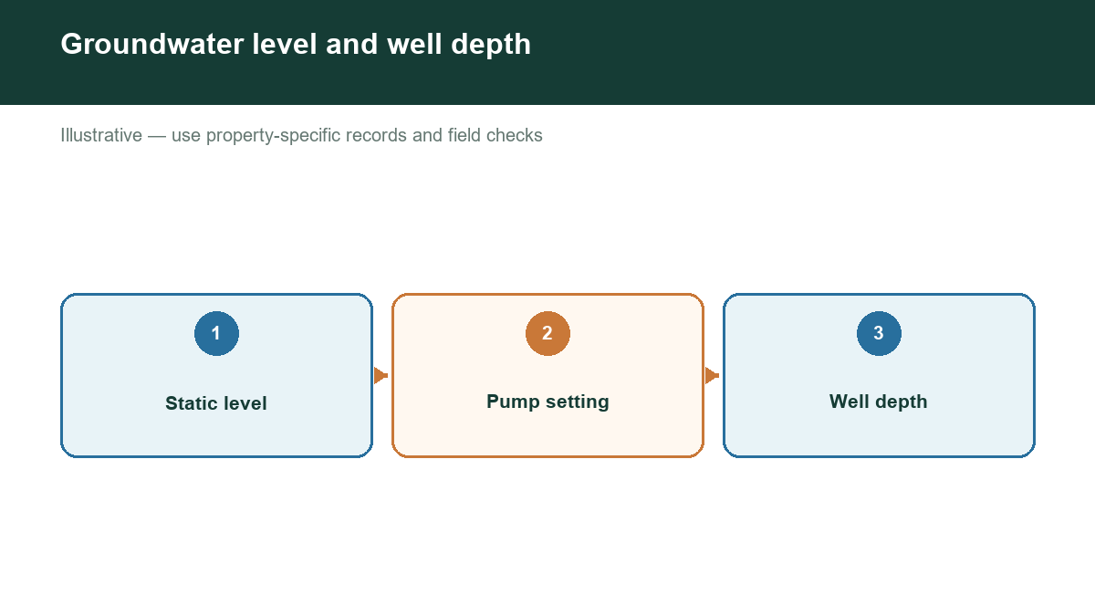
The most useful distinction is between the depth of the water table and the total depth of a completed well. A well may be drilled far below the first water-bearing zone to reach a more reliable source, improve yield, or avoid poor-quality water. A well log may therefore show a total depth that is much greater than the depth where water was first encountered.
What controls groundwater depth?
Texas has several major aquifers and many minor aquifers. The Ogallala underlies much of the High Plains. The Edwards is important in Central Texas. The Trinity, Carrizo-Wilcox, Gulf Coast, Seymour, Hueco-Mesilla Bolson, and other aquifers serve different regions. Each has different geology and recharge behavior.
Groundwater can be relatively shallow in unconsolidated sands and gravels near rivers, but shallow water is not automatically dependable or suitable for drinking. In other locations, wells must pass through thick layers of clay, shale, or limestone before reaching a productive zone.
Seasonal conditions matter too. Heavy pumping for irrigation can lower nearby water levels. Drought can reduce recharge and increase demand. A water level measured after a wet season may not represent late-summer conditions.
How to estimate depth near a property
Start with nearby well records rather than a statewide average. TWDB’s Groundwater Data Viewer and Submitted Drillers Reports can show well locations, reported depths, aquifer information, water levels, and construction details. Search several nearby wells because one record may be incomplete, old, inaccurately located, or associated with a different water-bearing zone.
Compare the following fields:
- Distance from the property
- Total well depth
- Reported depth to water
- Aquifer or geologic unit
- Date drilled and date measured
- Well use and reported production
- Land-surface elevation
When comparing wells, group them by aquifer and location. A well several miles away may be less informative than one nearby, but a nearby well completed in another formation may also be a poor comparison.
Why an estimate is not a guarantee
Public records are valuable evidence, but they are not a substitute for a site investigation. Two parcels next to each other can have different well outcomes because of fractures, sand lenses, faults, topography, or construction choices. A reported water level can also be static, pumping, or measured under unknown conditions.
For a property decision, treat the result as a range with a confidence level. Stronger evidence usually includes multiple recent nearby records in the same aquifer, consistent reported depths, and a clear relationship between the well locations and the property.
Before drilling or buying land, ask a licensed Texas water-well professional to evaluate the location, expected formation, drilling risks, casing requirements, pump setting, and likely yield. Also check the applicable groundwater conservation district. District rules can affect registration, spacing, production, permitting, and reporting.
Check groundwater evidence near your Texas property
Use public well data to form a location-specific starting point, then confirm important assumptions through onsite evaluation and professional advice. Our assessment tool helps organize nearby well evidence so you can see the data behind an estimate instead of relying on a generic county average.