Short answer
The most defensible way to estimate groundwater depth near a Texas property is to compare multiple nearby well records that represent the same aquifer, similar elevation, and similar conditions. A countywide average is easy to find but can hide the geology that matters most at the property.
Illustrative screening example
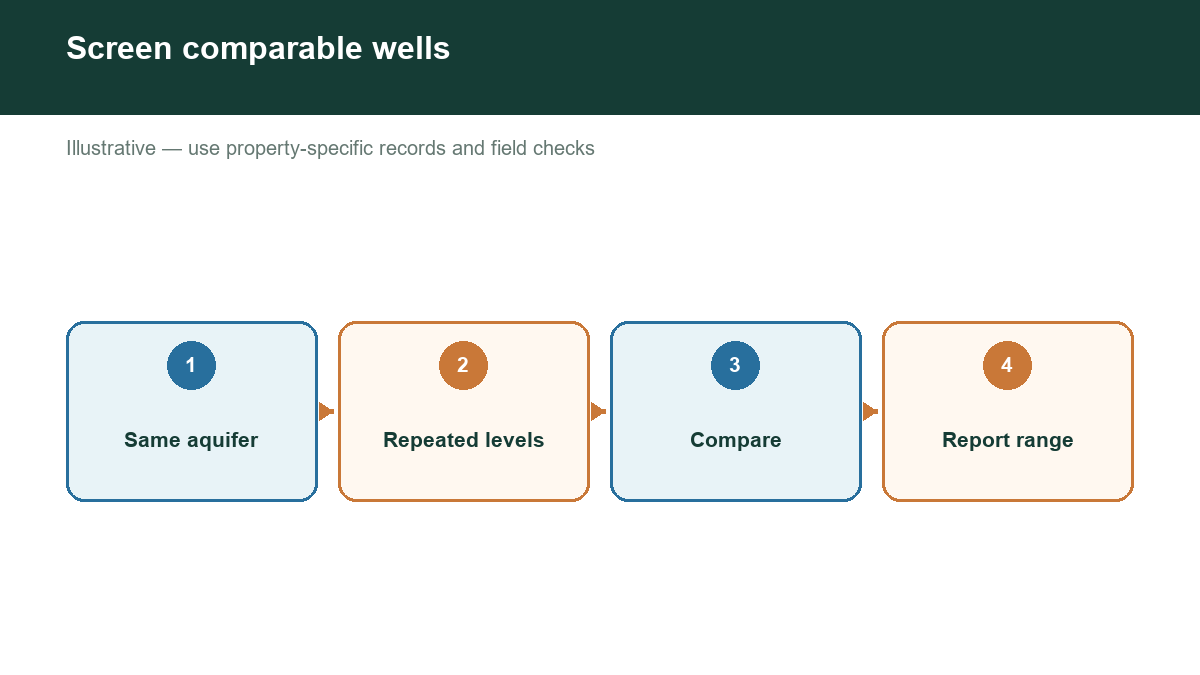
Suppose twelve nearby records are available, but three belong to another aquifer and two contain only a drilling-day water observation. A defensible estimate would screen or separately label those five records, then weight the remaining repeated measurements by distance, depth comparability, record duration, and data quality before reporting a range.
Step 1: Define the location
Use the property’s exact address, coordinates, parcel boundary, or survey information. A small location error can place the search in a different formation or drainage area. Note the land-surface elevation and nearby streams, ridges, and valleys.
Step 2: Find public well records
Search TWDB’s Groundwater Data Viewer and Submitted Drillers Reports. TCEQ’s Water Well Report Viewer is also useful for historical reports. Search by map first, then use owner, driller, county, street, or date fields to find additional records.
Step 3: Screen for comparable wells
Create a working table with well location, distance, total depth, reported depth to water, aquifer, completion interval, date, use, land elevation, and source. Exclude or separately label records with missing coordinates, unclear aquifer information, unusual uses, or measurements taken under unknown conditions.
Step 4: Look for patterns
Do not automatically average all wells. Compare groups. A cluster of recent domestic wells in the same formation may provide a better estimate for a homesite than a deep irrigation well several miles away. Check whether reported water depth changes with elevation and whether measurements differ by season.
Step 5: Report a range
Give a likely range and explain the evidence. For example, “Comparable wells within the search area report water at approximately X–Y feet below land surface, with moderate confidence” is more honest than stating a single exact depth. If data are sparse or inconsistent, lower the confidence and recommend field verification.
Important limitations
Water level is not the same as well depth. A well may be drilled deeper than the first water-bearing zone. Static, pumping, and recovery levels are different measurements. A nearby record may be old, incorrectly located, incomplete, or associated with a different formation. Public data can support a preliminary estimate but cannot guarantee a new well’s production or quality.
When to obtain professional help
Contact a licensed water-well driller or qualified hydrogeologist when the decision involves a new well, high-value land purchase, irrigation, a public or commercial supply, contamination risk, or a history of failing wells. Ask the professional to explain assumptions, likely risks, testing, and applicable groundwater district requirements.
Check groundwater evidence near your Texas property
Our assessment tool is built around this evidence-first process. It helps organize nearby records, distinguish documented fields from inferred estimates, and show where the data do not support a confident conclusion.